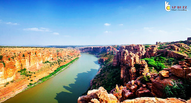
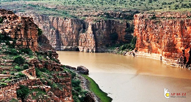
Gandikota is located on the right bank of the Penna river, 15 kilometers from Jammalamadugu in the Kadapa district of Andhra Pradesh, India. Gandikota is a village and historical fort located on the right bank of the Penna river. The fort served as the political headquarters for a number of dynasties, including the Kalyani Chalukyas, Pemmasani Nayakas, and the Golconda Sultanate.
Gandikota, one of India's most spectacular geological formations, may be found in the Kadapa district. Gandikota, which is located on the banks of the Penner river, takes its name from two Telugu words: 'Gandi' which means gorge and 'Kota' which means town or settlement. In Hindi, the word kota means fortress.
What is the Meaning for Gandikota?
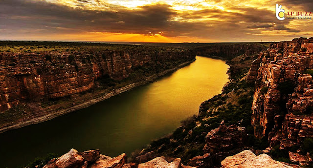
Gandikota (meaning "gorge fort") has been unfairly likened to the Grand Canyon in Colorado by far too many excited vacationers. Even if the moniker "Indian Grand Canyon" is a bit exaggerated - the ravine is only a few kilometres long, compared to the Aamerican wonder's 441 kilometres in length - Gandikota is a spectacular sight in its own right.
Magnificence of Gandikota
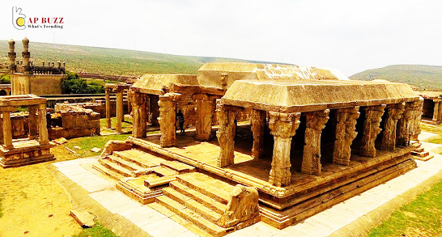
It is Charmiar, a three-story tower that has been overzealously refurbished, that is the first structure that one will come across while inside the fort's walls. There is a massive stone edifice with three entrances on the left that serves as a prison. The Madhavaraya Swamy Temple is just a short distance away. However, despite the magnificence of all of these structures, the view of the Penna Gorge from the edge of the fort is without a doubt the highlight of Gandikota. Get to the best vintage spot by climbing over the mound of boulders beyond the Ranganatha Swamy Temple.
History of Gandikota
Gandikota is believed to have been founded by Kapa, the monarch of the neighbouring hamlet of Bomanapalli, according to an ancient grant of land. It is believed that Harihara, the first monarch of the Vijayanagara dynasty, built a shrine in this area. Fort Firishta was built in 1589, according to Firishta, a Persian historian who lived in the 16th century. Mir Jumla was the ruler of the city during the 17th century, after it was seized by the Qutab Shahi dynasty. A new mosque and fortifications were erected by Jumla, who also enlarged the existing ones. A succession of Nawabs of Kadapa and subsequently Hyder Ali held the citadel until it was finally destroyed by an earthquake in 1704. Because of a pact with the Nizam, the British were granted ownership of the fort during the year 1800 CE.


